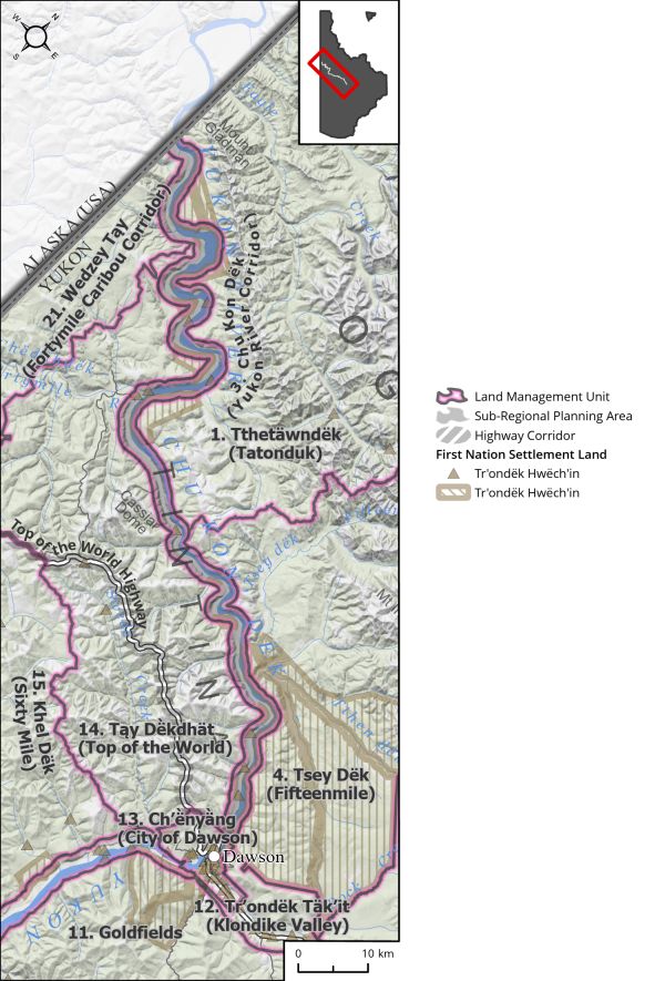
Land Use Designation: Sub-regional Planning Area Land Status: Non-Settlement Land and Settlement Land, including 52 Tr’ondëk Hwëch’in Settlement Land Parcels Area: 926 km2 Planning Region % 2.3% Walking on the Land Together (Intent Statement) The vision for this...
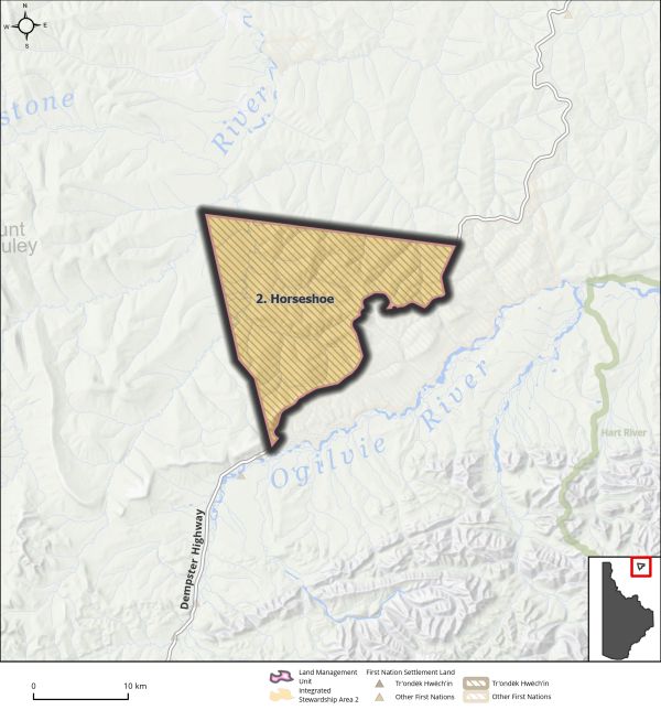
Land Use Designation: Integrated Stewardship Area 2 Land Status: Tr’ondëk Hwëch’in Settlement Land R-49A Area: 329 km2 Planning Region % 0.8% Walking on the Land Together (Intent Statement) The vision for this area is to ensure habitat requirements for the Porcupine...
The Dawson Planning Region has been divided into discrete areas of land. Consistent with other Regional land use plans, these are called Landscape Management Units (LMUs). Each LMU is identified and delineated from the others based on a review of human use, ecological...